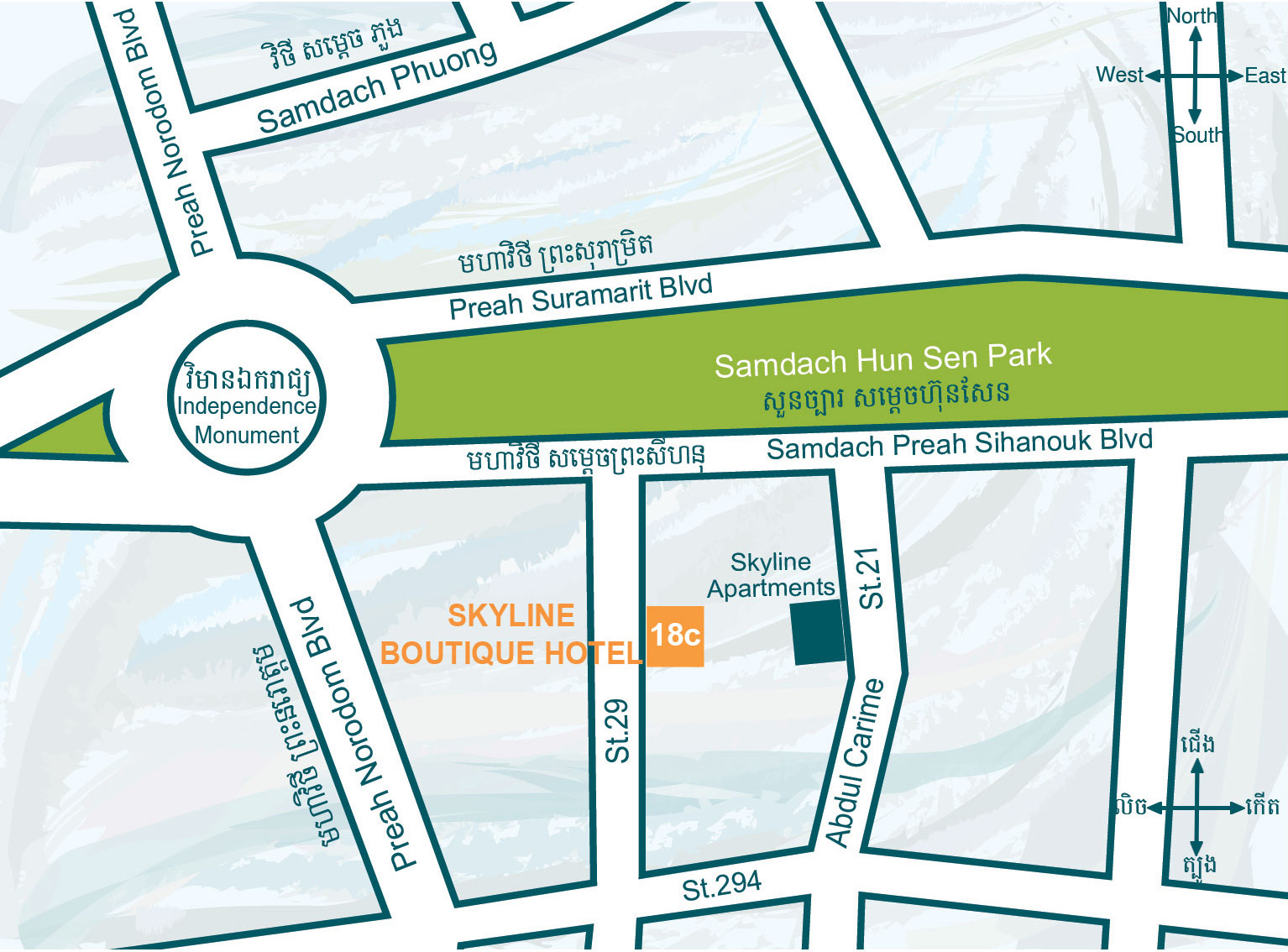
With the location in an oasis of calmness in the heart of Phnom Penh capital city, Skyline Boutique Hotel is a luxurious, elegant and tranquil place of stay. In only two-minute walk, guests can reach the Independence Monument and its park. It is also within a walking distance to the city's tourist attractions, including the Royal Palace, Riverfront, National Museum, and Silver Pagoda.
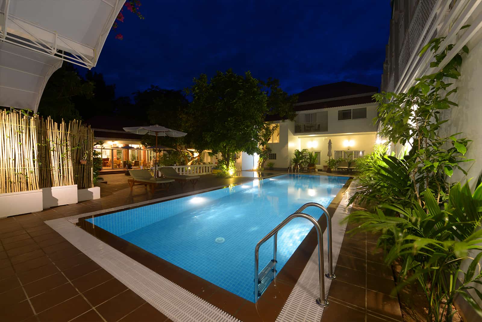
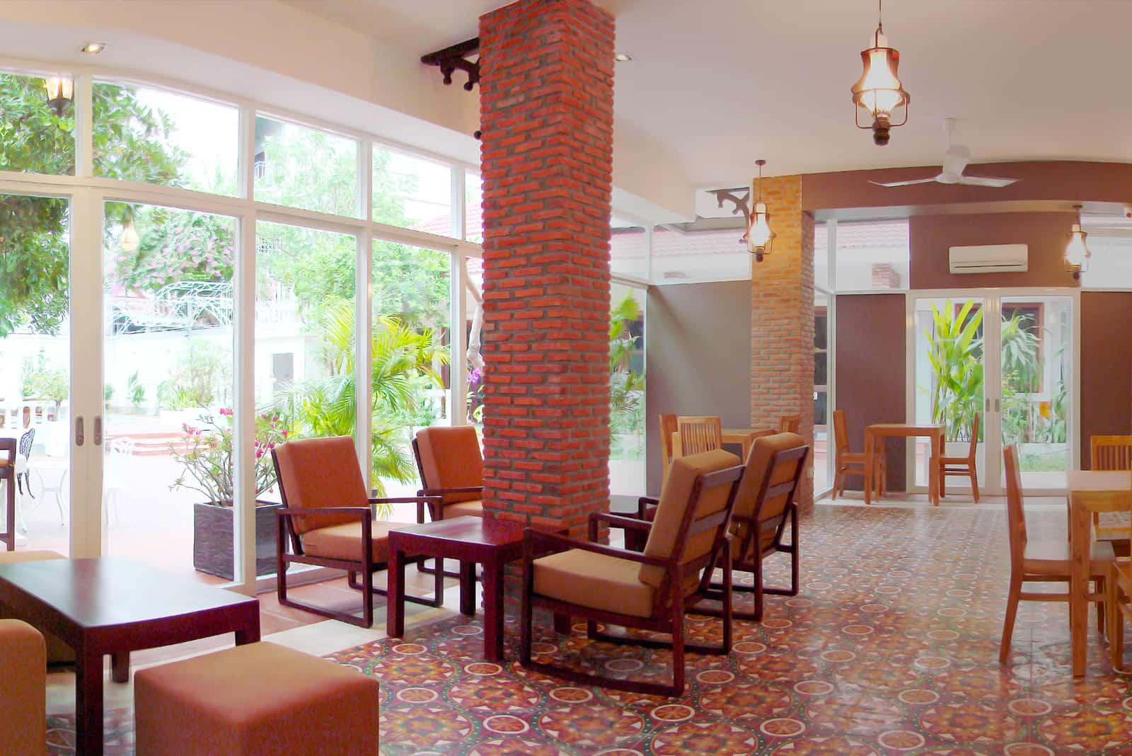
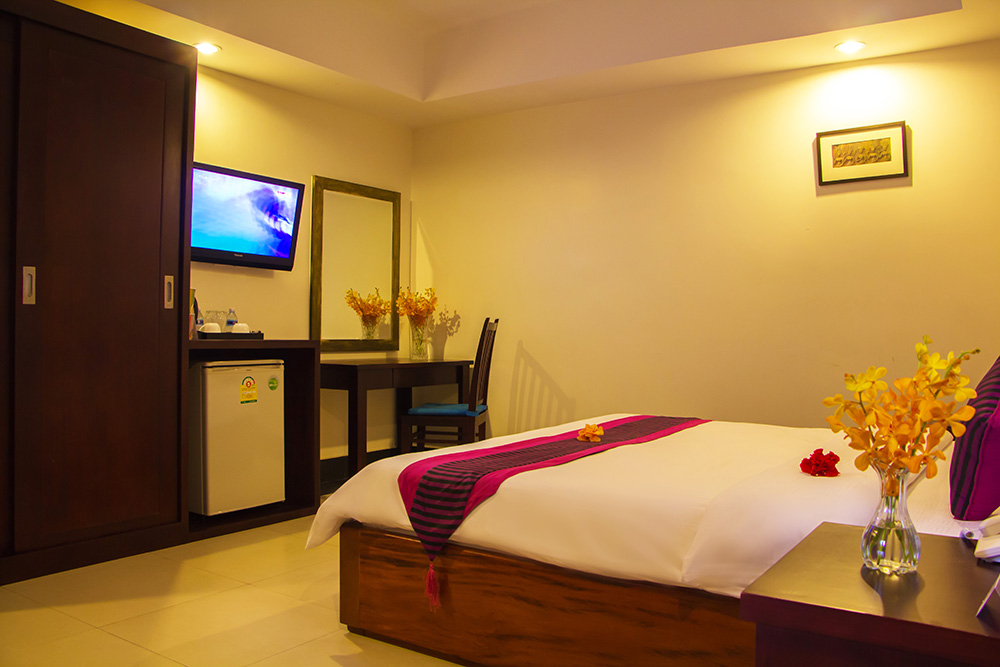
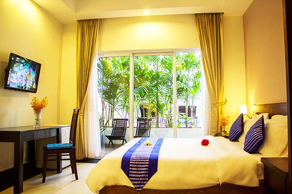
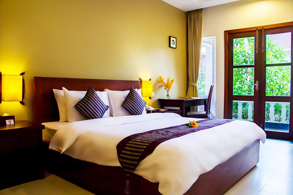
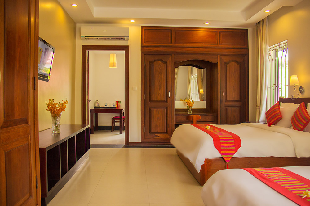
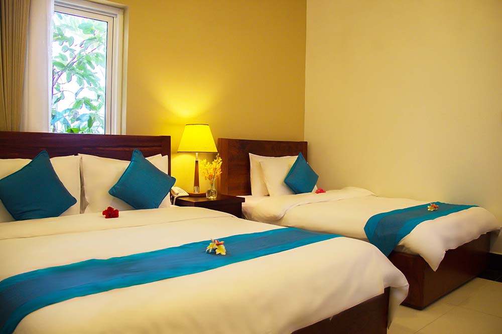
The hotel's location also caters to business travelers with the location close to business area of Sihanouk Blvd. Guests will discover an array of the hotel's facilities such as swimming pool for adult and kid separately, restaurant, business center, garden, and playground. This charming boutique hotel features unique guest rooms, spaciously and contemporarily designed with attention to details for the utmost comfort for guests' both business and leisure purposes.